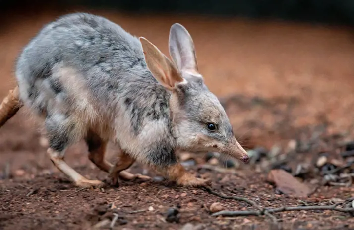
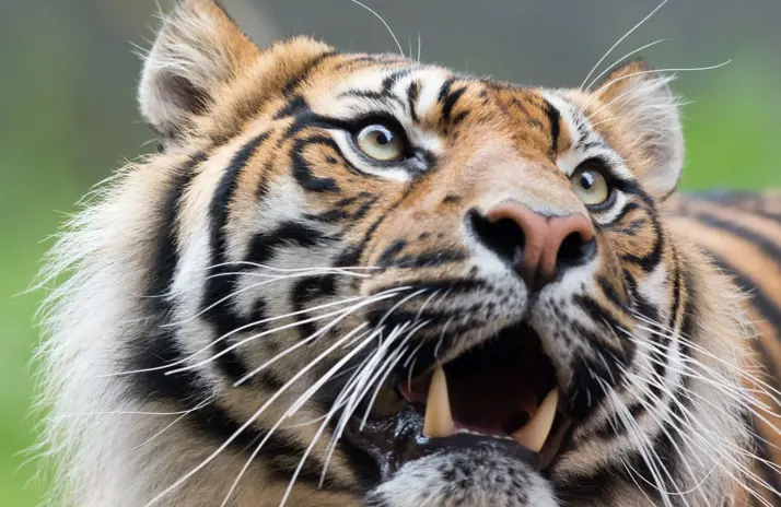
Wildlife and Conservation
Leadership on a global scale
Through research, education, action and advocacy, Taronga is leading vital work that supports wildlife, habitats and communities across the globe. Find out more about how the work we do to secure a shared future for wildlife and people.
Leadership on a global scale
Through research, education, action and advocacy, Taronga is leading vital work that supports wildlife, habitats and communities across the globe. Find out more about how the work we do to secure a shared future for wildlife and people.
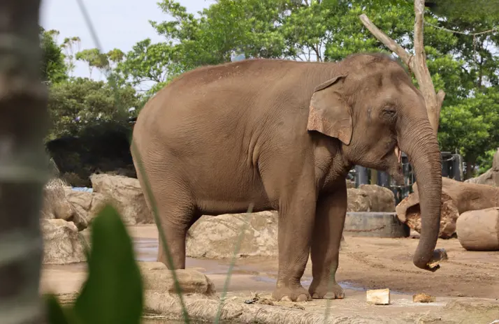
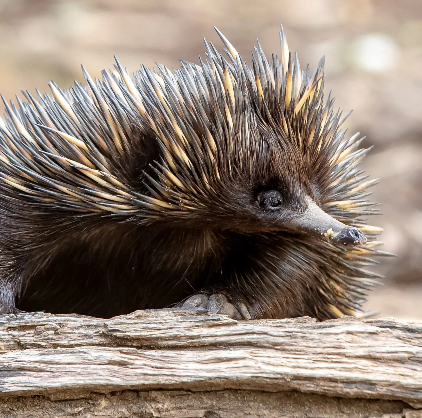
Conservation and science programs
Explore Taronga’s conservation and science programs, from threatened species recovery to wildlife health, and see how vital research is helping protect animals and ecosystems into the future.
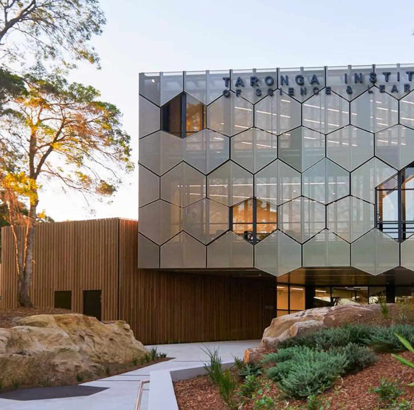
Taronga Institute of Science & Learning
A living laboratory for scientific investigation and conservation education, built to empower the scientists of tomorrow.
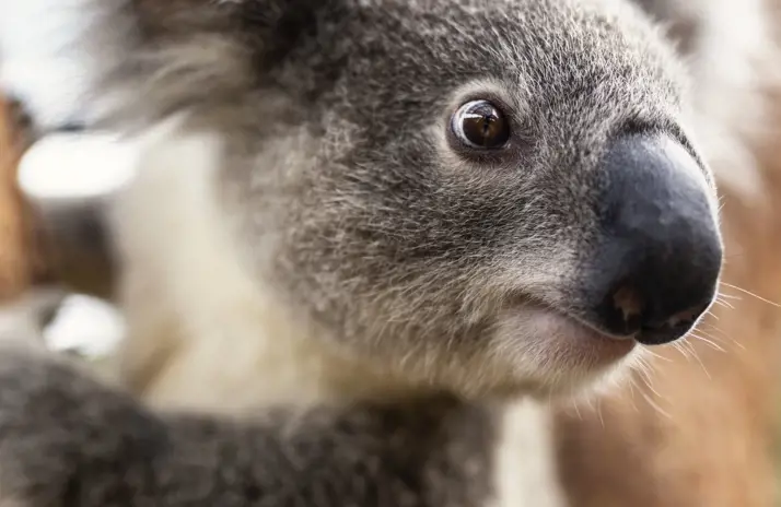
Animal Welfare
Taronga is committed to providing dignity, respect and the best care for our animals, and we strive to be a leader, advocate and authority on animal welfare.
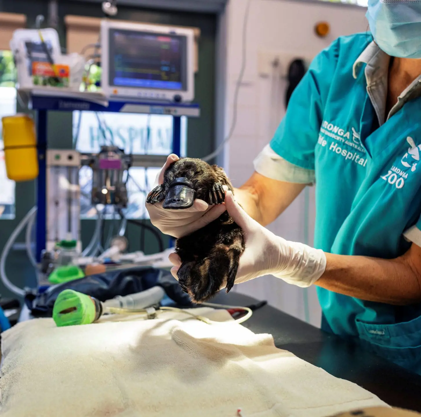
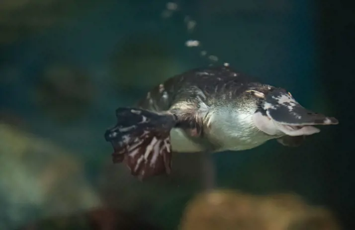
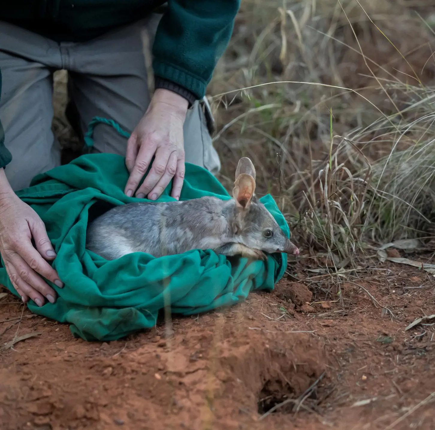
Taronga Wildlife Hospitals
Taronga's Wildlife Hospitals are responsible for maintaining the health of the animals in our care, and provide treatment and rehabilitation for injured Australian wildlife.
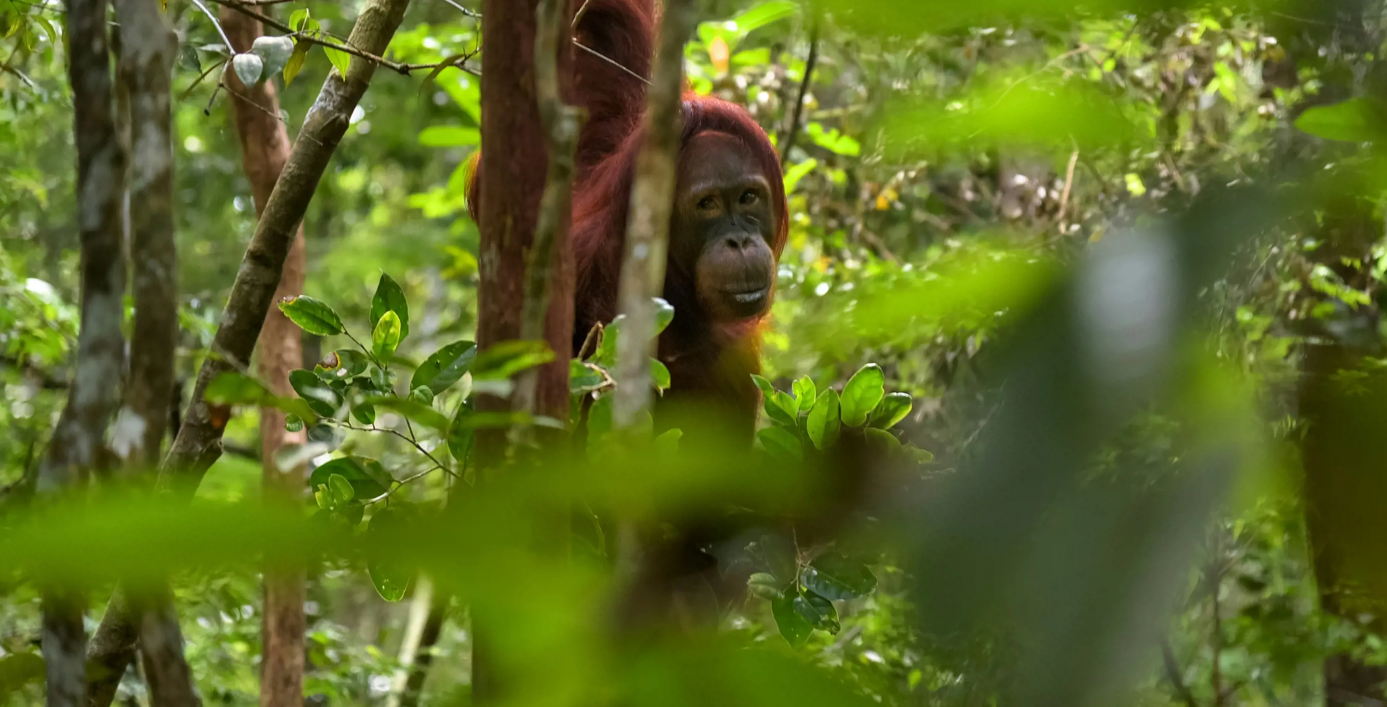
Field conservation grants
Taronga’s Field Conservation Grants support on-ground projects that protect wildlife and habitats, while helping communities live alongside them. Through funding and expert guidance, these grants back vital conservation work.